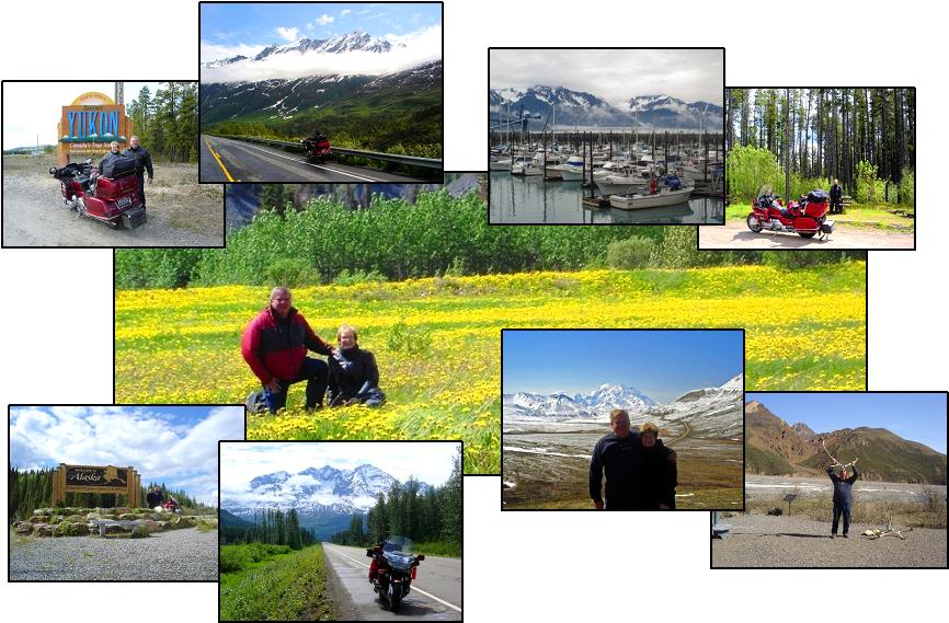
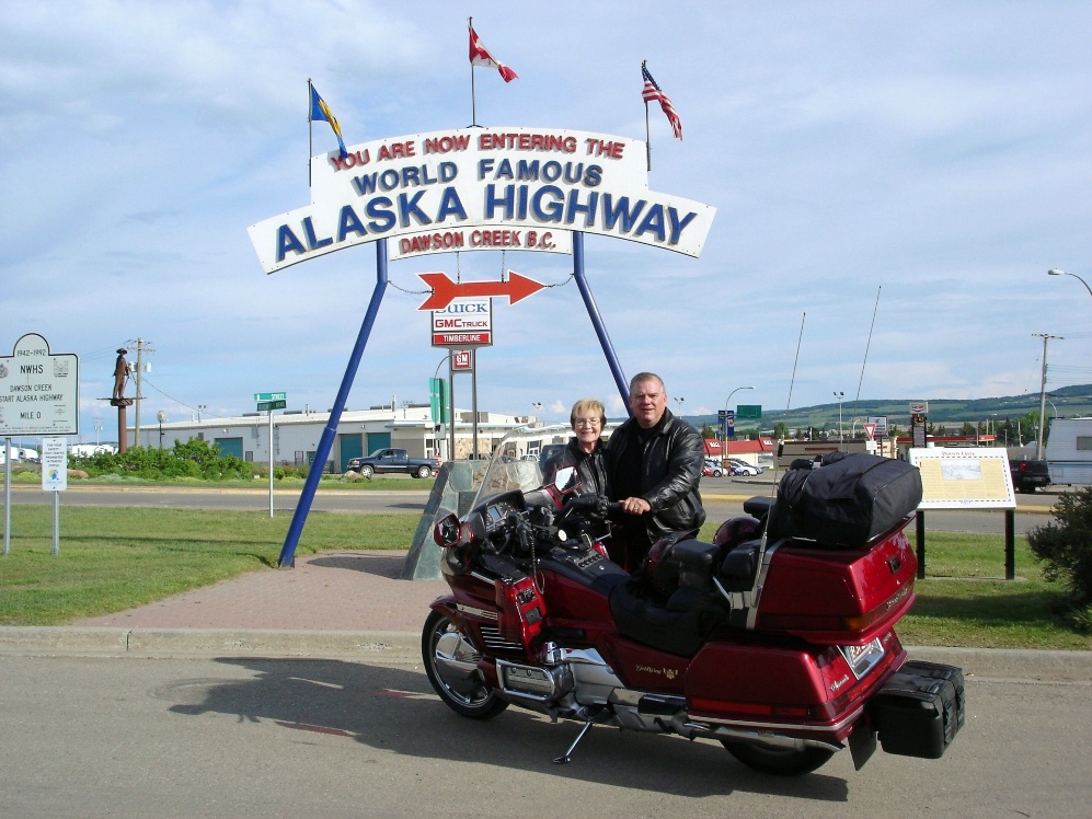
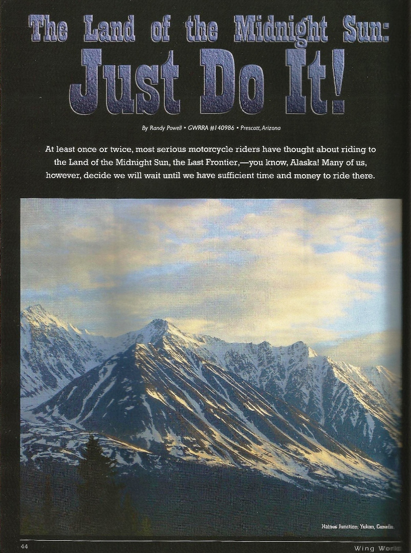
The following six pages are from the December 2006 article in Wing World Magazine - Alaska - Just Do It
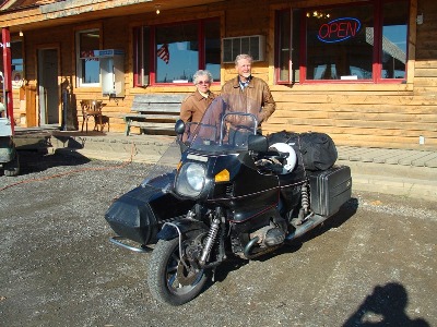
2008 Alaska Trip - 8,200 miles in 39 days
You may view a Phanfare slide show of the Alaska "08 trip by clicking on http://albums.phanfare.com/ride2up and then clicking on the Alaska "08 picture and then click on "Start Slideshow".
The following pictures are from our latest 2008 trip to Alaska. We have posted these 2008 pictures and left the 2006 trip pictures to tell the complete story of the Alaska motorcycle adventure.
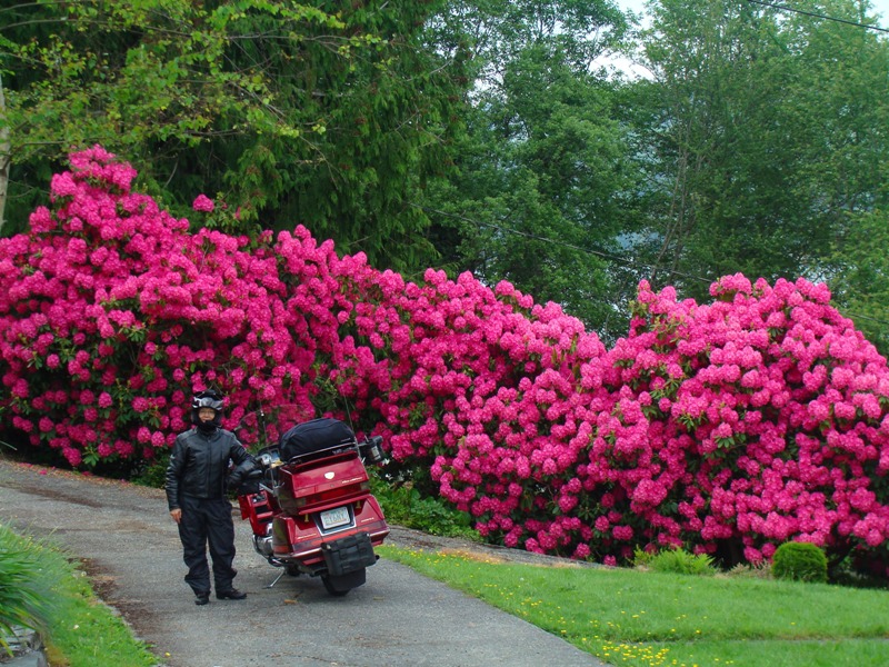
Three 500 mile days got us through Nevada, Idaho, Oregon and into Washington to the warning sign on the left. Very appropriate for the beginning of an 8,000 mile motorcycle trip. At right, trespassing in someone's driveway south of Vancouver on the Samish lake.
Entering Canada at the Arch of Peace crossing south of Vancouver and meeting John Miller from Canada who led us through the city to our motel in North Vancouver - thanks John.
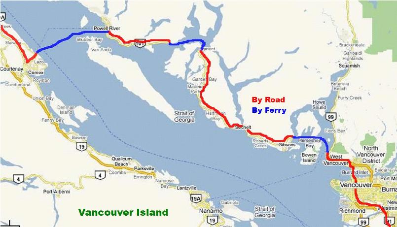

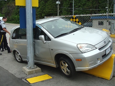
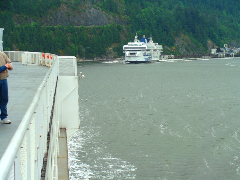
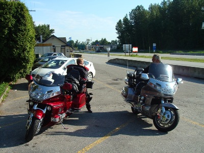
Left, leaving Horseshoe Bay on the first ferry headed to Langdale. On the right at the smaller Earl's Cove ferry terminal someone let their foot slip off the brake pedal and got high centered on a barricade.

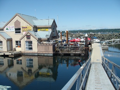
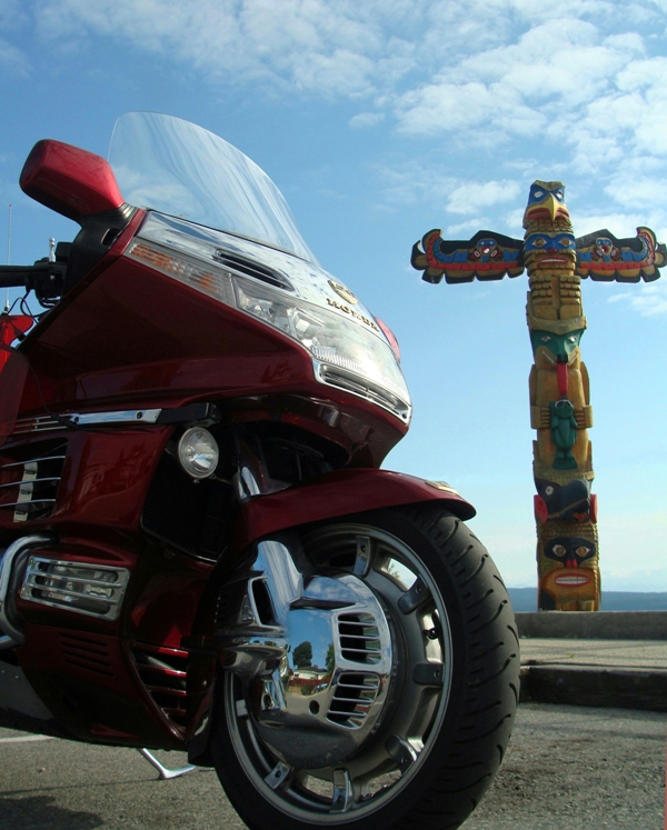
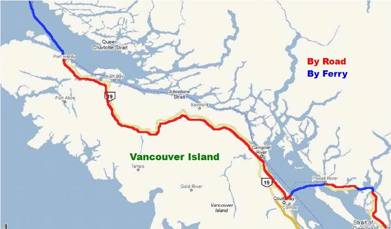
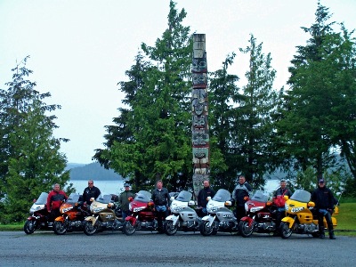
After taking the Horseshoe Bay ferry and the Earl's Cove Ferry we came along one of the many totem poles on the Sunshine Coast at Powell River. At right, after taking a third ferry over to Comox on Vancouver Island we headed up to Campbell River for a floating lunch stop.

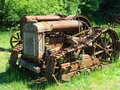
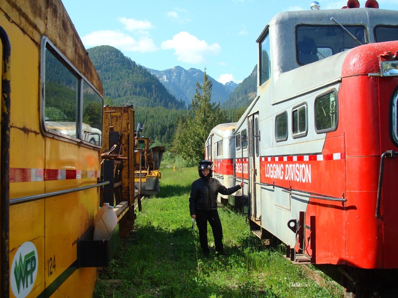
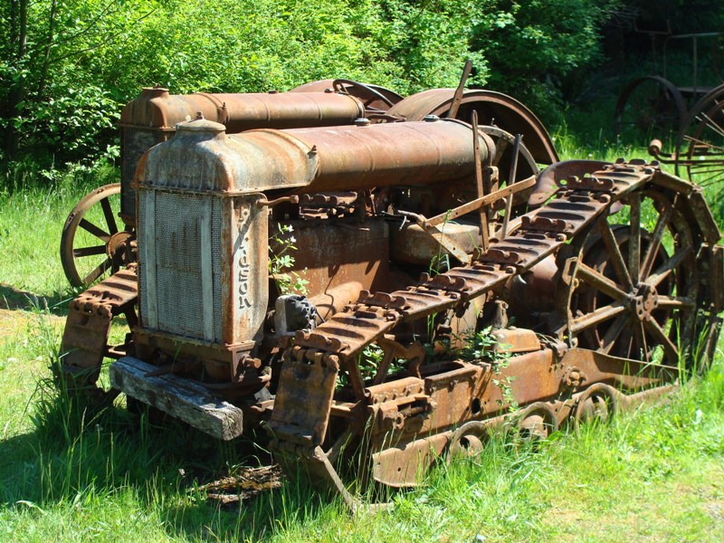
On the way to Port Hardy we took two little side roads that a man on the Powell River ferry told us about between Comox and Port Hardy. Left, is some old logging rolling stock in Woss and, at right, is an old tractor on the little side road to Sayward next to the Cable House Cafe.

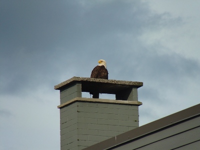
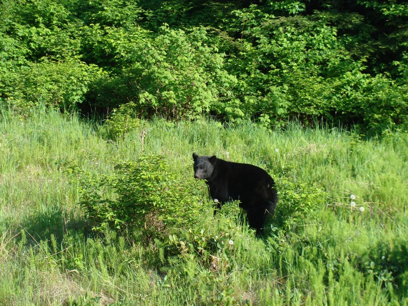
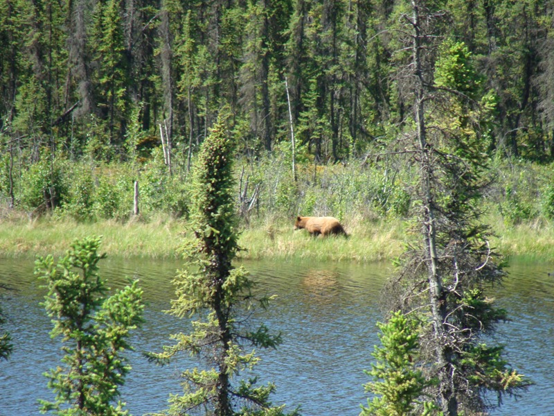
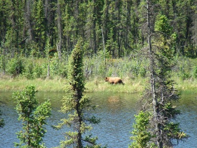
This was the first black bear we saw beside the road just outside of Port Hardy on the north end of Vancouver Island. He sat there quietly while we took still shots and video. The eagle at the right was on top of our motel in Prince Rupert when we woke up. Everyone was outside taking his picture so we did the same.
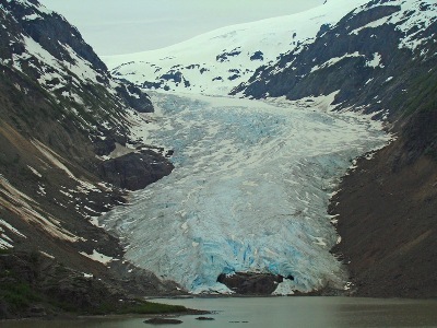
Leaving Kitwanga headed North on the Cassiar Highway. This South end of the Cassiar has been recently repaved and was great riding following Kevin Barr on his Harley returning to his place in Carcross. We rode with him up to the cutoff to Hyder/Stewart. The Bear Glacier, right, is on the spur road on the way to Hyder/Stewart.
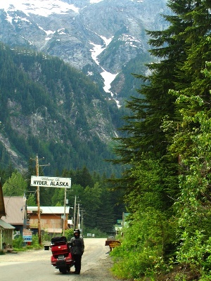
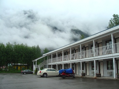
When we arrived at Hyder, Alaska for the traditional Hyder city entrance picture the roads were dry, which is very unusual for this rain forest area. At right, the next morning a more typical look at the motel in Stewart, BC. These two little towns are right next to each other but in different countries.
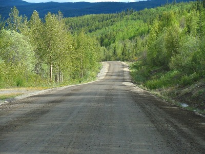
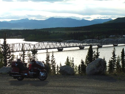
The dirt road on the left is a portion of the Cassiar Highway near Dease Lake. This 450 mile highway is almost all paved now except for 3 short dirt sections, which are actually better than the paved section at the north end near Watson Lake. The bridge on the right is crossing the Nisutlin Bay into Teslin about 100 miles west of Watson Lake.
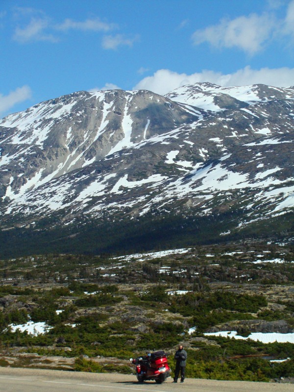
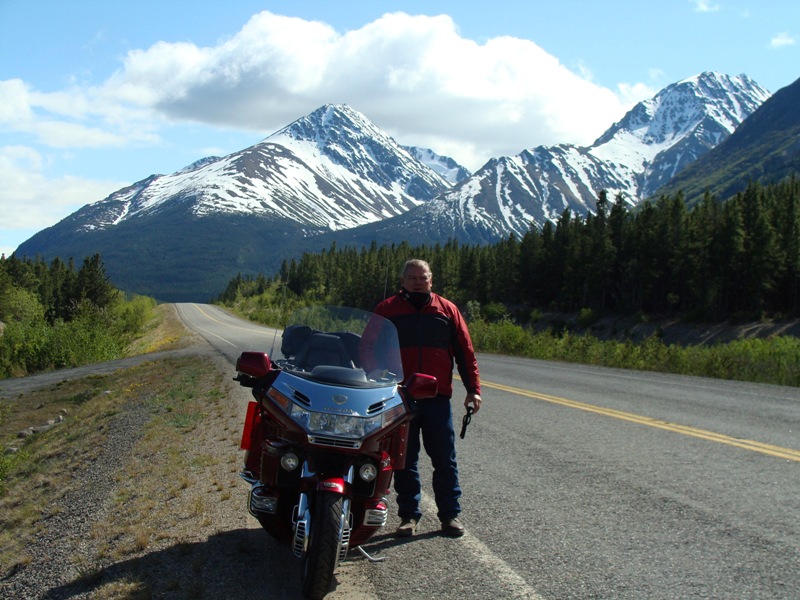
In Skagway, contrasting transportation methods for reaching Alaska as Susan finally has cell service to call the grandkids. And, right, Desolation Valley just north of Skagway headed back to the Yukon.

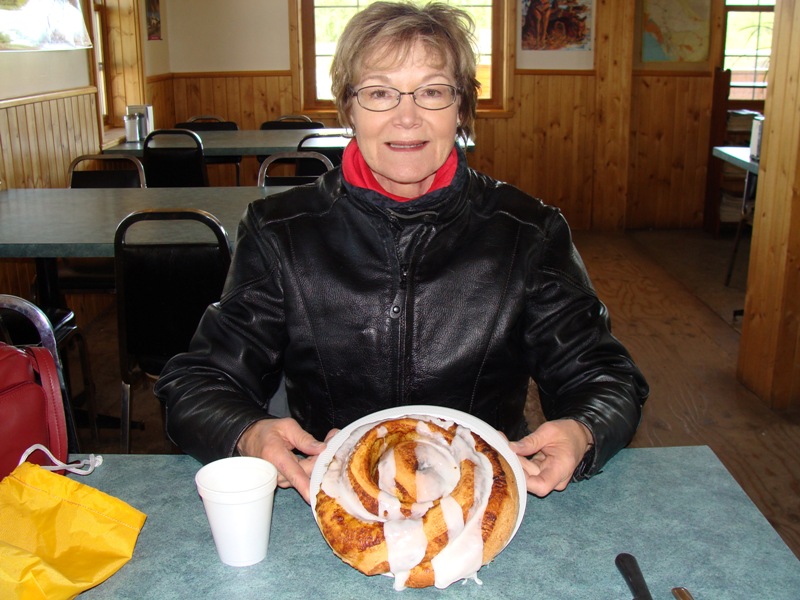
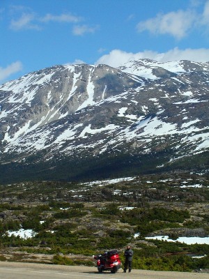
The road north of Skagway and south of Carcross presents some beautiful views along the highway. At right, 60 miles north of Whitehorse on the road to Dawson City is the best cinnamon roll stop on the trip at Braeburn's lodge.


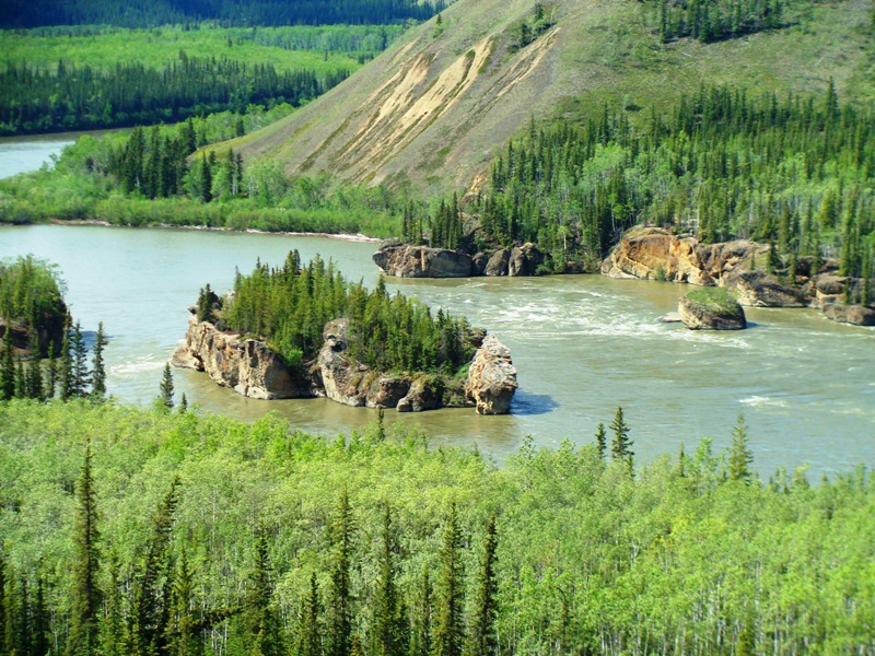
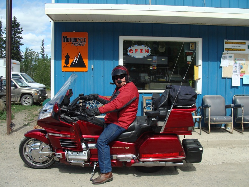
Five fingers rapids between Whitehorse and Dawson was a very dangerous spot for the old paddle wheel steamers on the Yukon river. At right is one of the many "Motorcycle Friendly" signs we saw in the Yukon. The people really are friendly - it's just their gas prices that are unfriendly - $6 to $8 a gallon with the hugh Canadian gas tax.

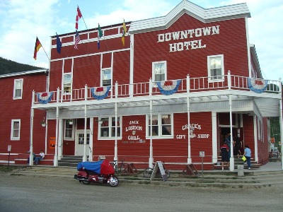
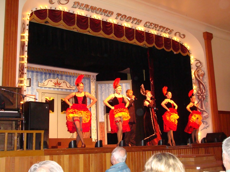
Diamond Tooth Gerties is a must see variety show in Dawson City with silly, but clean entertainment for this great little town. At right is the hotel we stayed in with another "Motorcycle Friendly" sign out front. This place is owned by a rider and even has its own free bike wash area.
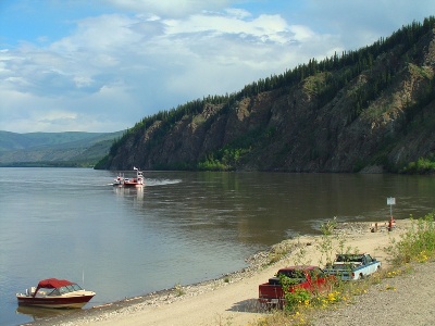
Ready to board the smallest and shortest ferry ride on the whole trip crossing the mighty Yukon river at Dawson. Only a 5 minute ride with a rough dirt approach on both sides. This gave us access to the Top of the World Highway headed to Chicken and Tok.
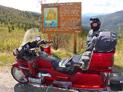

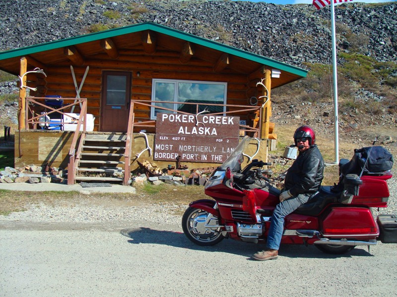
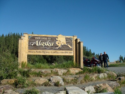
Having crossed the Yukon river by ferry we rode the Top of the World Highway which is 110 miles of dirt to Chicken, Alaska. At right, stopping at the Canada/Alaska border at Poker Creek, the northern most land border crossing in the U.S.
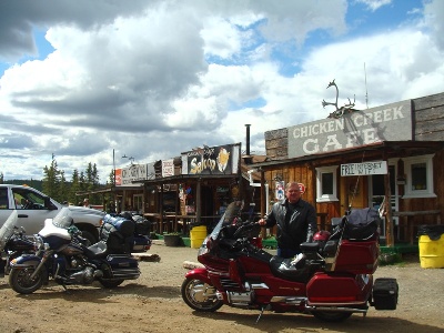
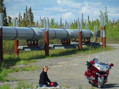
After 110 miles of dirt road, Chicken really looked good and they also had great food. At right, in Glennallen we were finally able to come right up to the pipeline for some pictures.
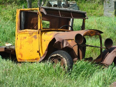
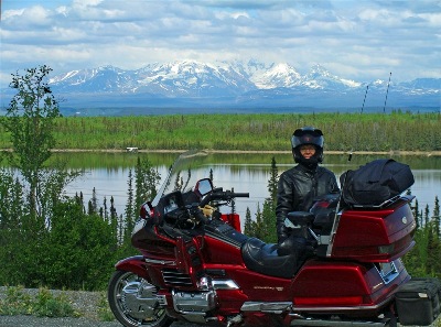
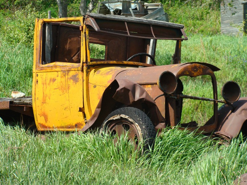
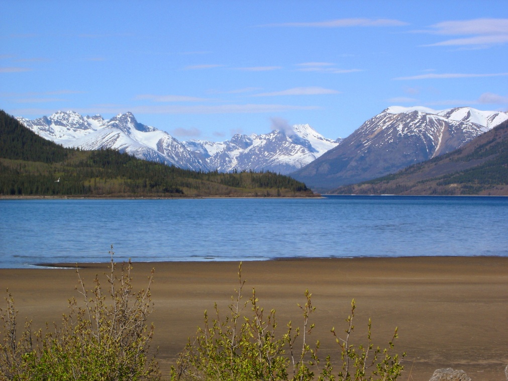
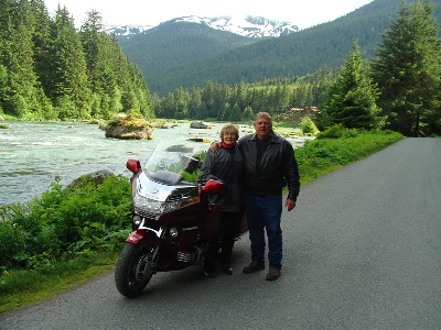
An old truck found in the little town of Chitina, north of Valdez. Wouldn't you love to have video of the places this truck drove in the 30's and 40's in Alaska? I think this is a 1930 Ford truck. And Susan next to a lake south of Copper River with the Wrangell mountain range in the background.

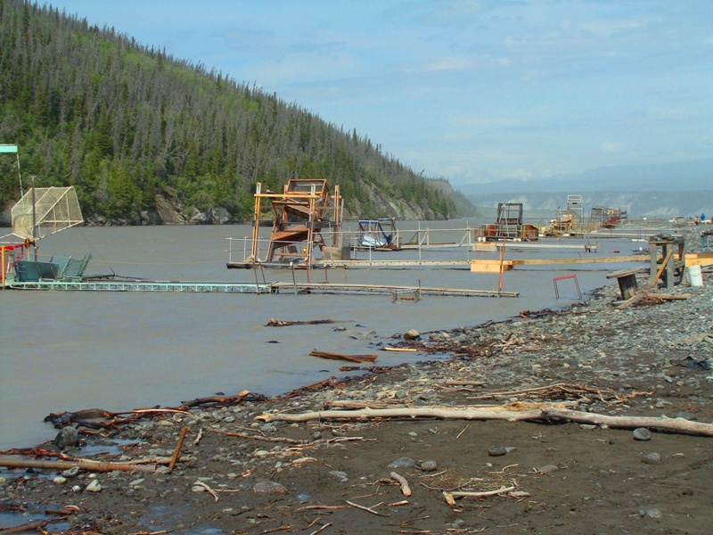
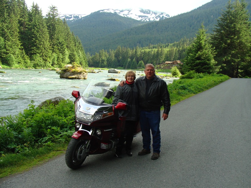
Susan at the Copper River Princess Resort with the Wrangell-St. Elias range in the background on our 42nd wedding anniversary - a beautiful spot. Then, on the right, the ugliest spot on our trip at the Copper River fishing wheel location near Chitina.
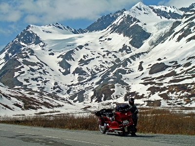
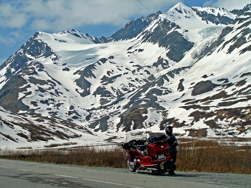
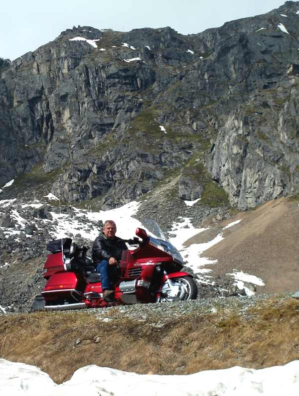
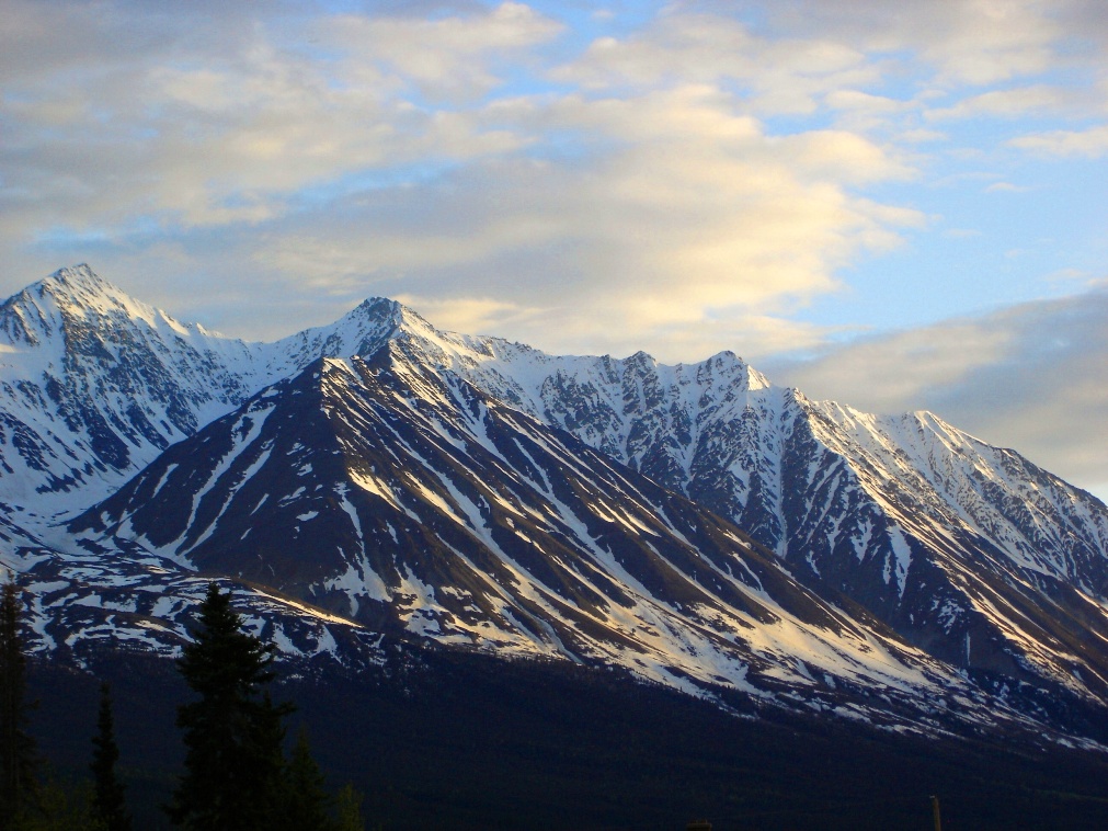
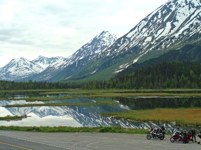
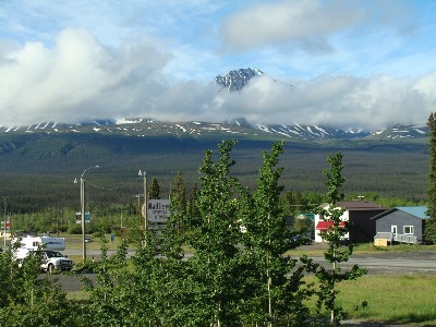
Thompson Pass just north of Valdez was magnificant on a clear sunny day with snow all around. At right, at the bottom of the pass it was just as beautiful.
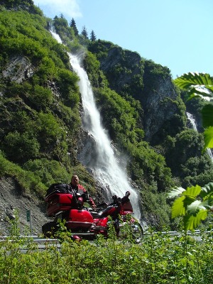
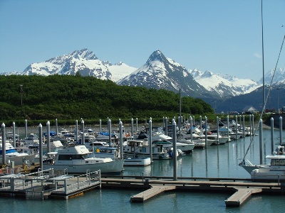
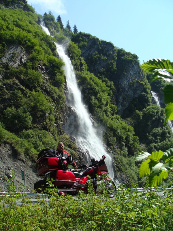
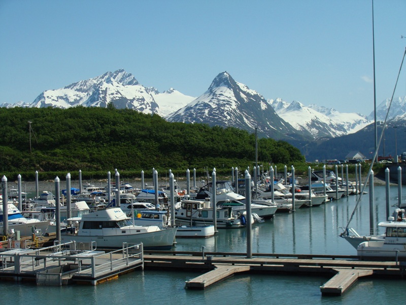
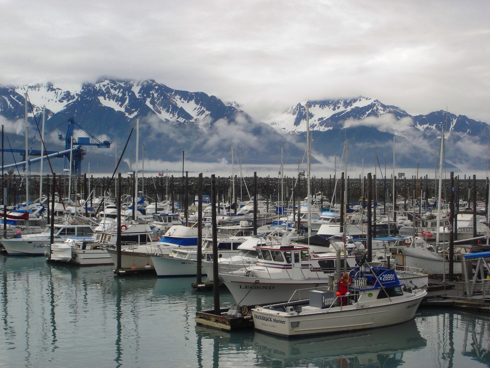
Waterfall in Keystone Canyon near Valdez and, at right, the Valdez harbor on a beautiful day.
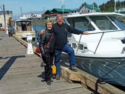
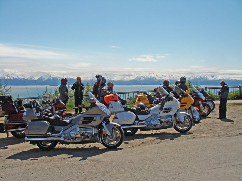
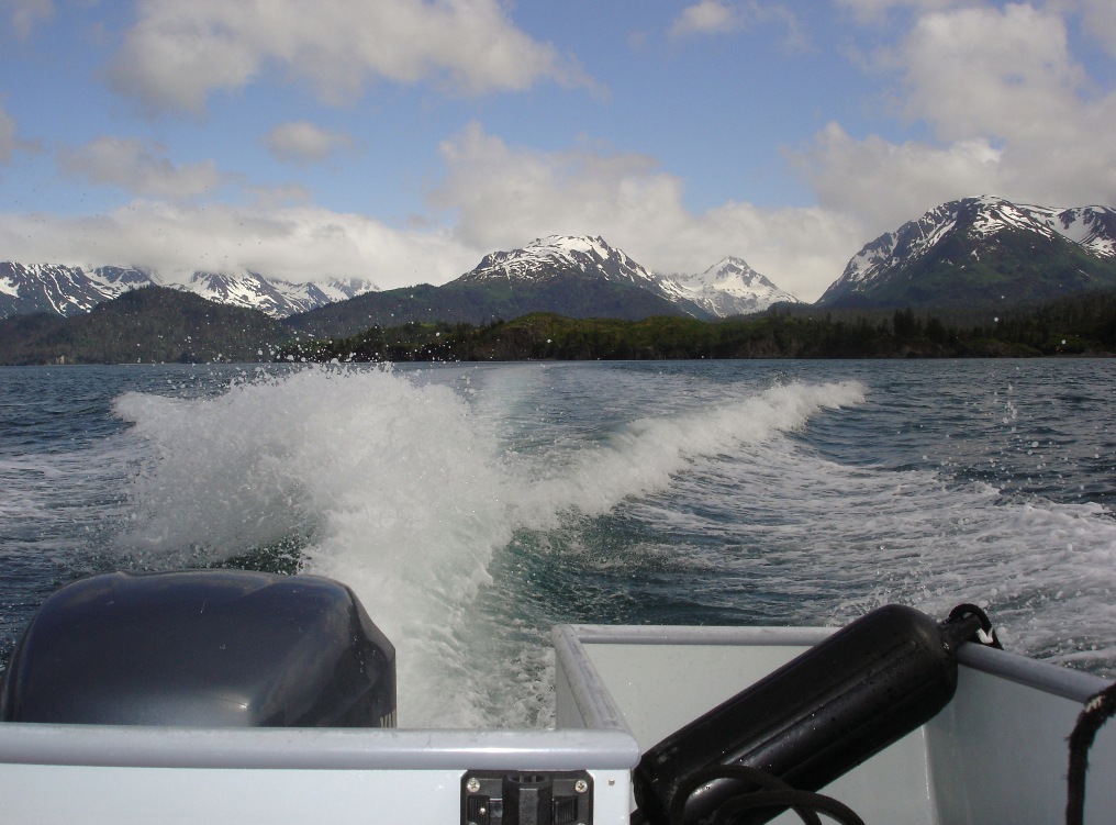
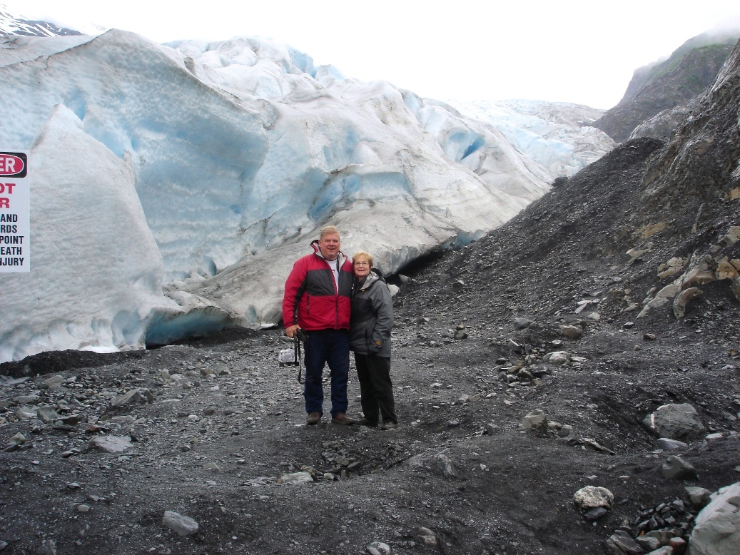
The Portage Glacier near Whittier on the Kenai Peninsula and standing next to Hardin Terrell's boat after a cruise from Homer to Seldovia for lunch.
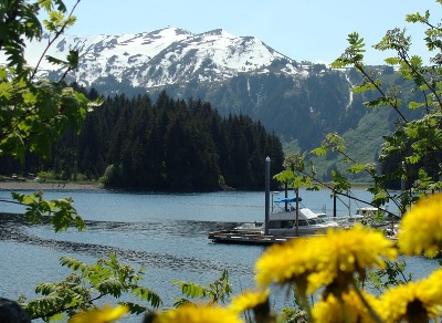

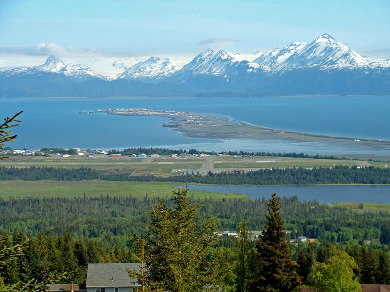
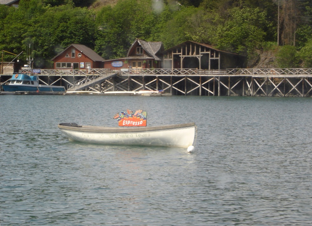
Another scene from the boat ride to Seldovia for lunch and, at right, the view out our window at Hardin and Joannie's place in Homer. This is, of course, the Homer Spit. What a view!

Dennis and Sue Bible brought down some fellow riders from Soldotna to meet us in Homer for lunch and we rode with them back to Soldotna. The right picture is at the big pullout at the entrance to Homer.
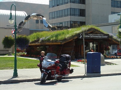
Left - At Tern Junction headed north to Anchorage we met some riders from Soldotna who just happened to know Dennis Bible also. And, right, the visitors center in downtown Anchorage.
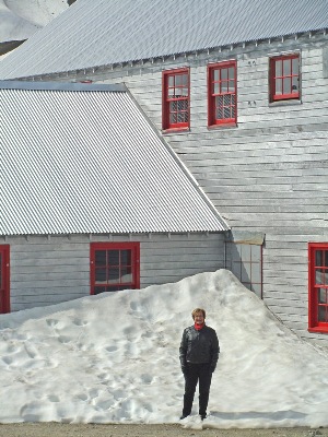
North of Anchorage we went up Hatcher Pass to the old Independence Mine. This was June and there was still a little bit of snow in places.
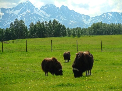
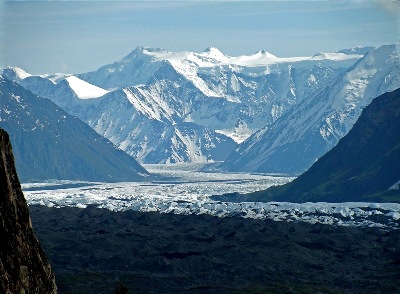
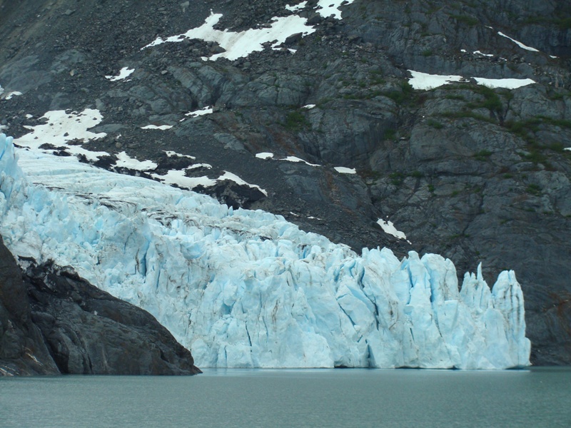
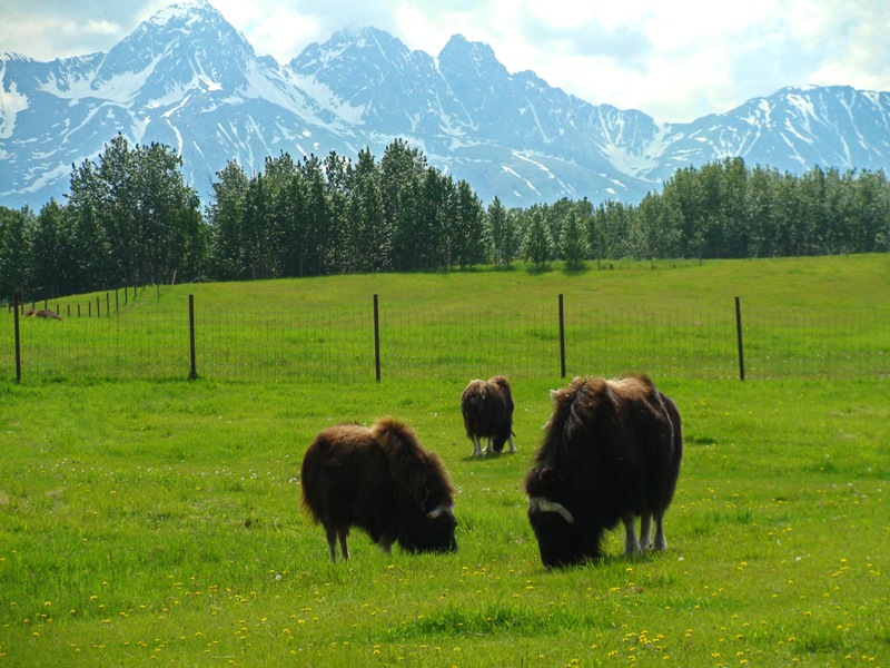
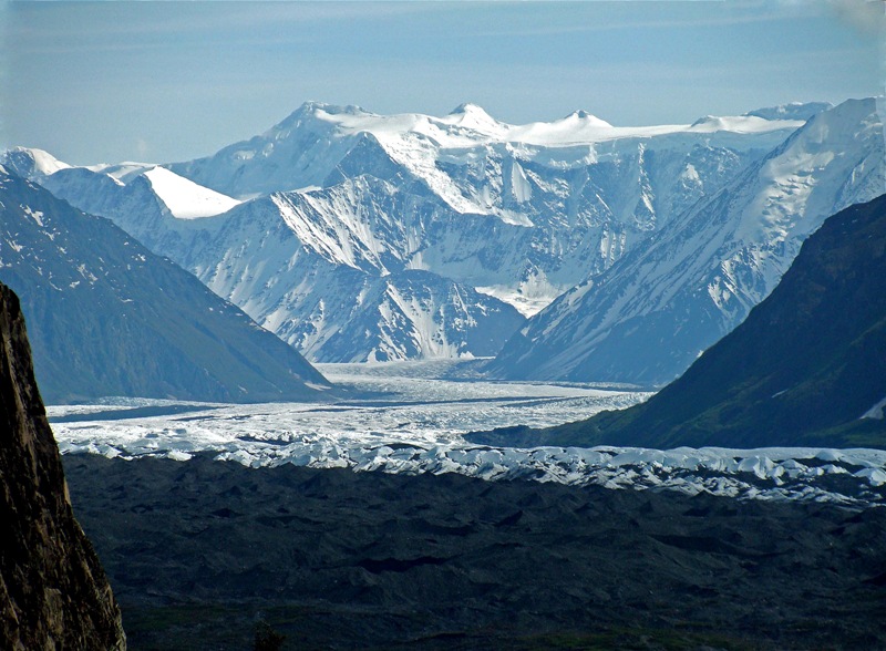
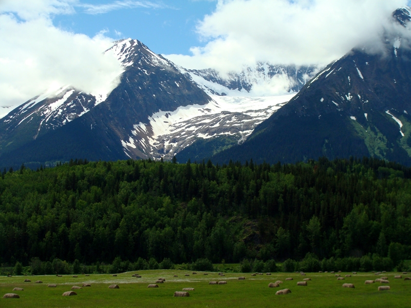
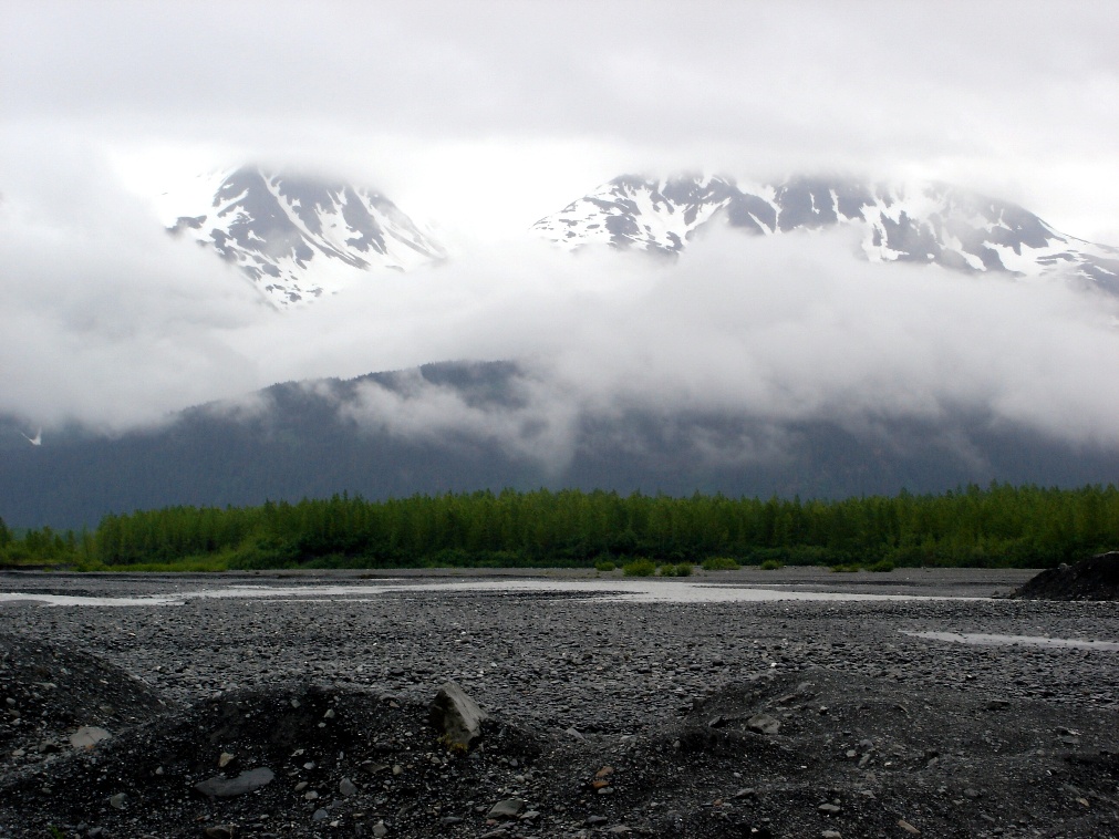
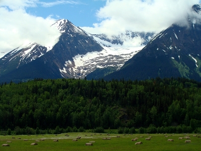
In Palmer was a unique little Musk Ox farm with a very interesting tour. Headed east on the way to Glennallan is the Matanuska Glacier - the largest glacier in Alaska accessable by car.

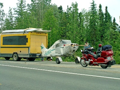
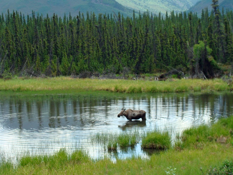
Stopped for a construction area, we looked to the right and here was this moose. Even stranger was this rig we saw in Tok and later near Border City. This guy was towing his airplane from Alaska to Oregon. A week later we saw him in Prince George Canada at a wrecking yard - the plane disconnected from the van. We did not stop, but could not even believe he had gone that 1,500 miles towing the plane.
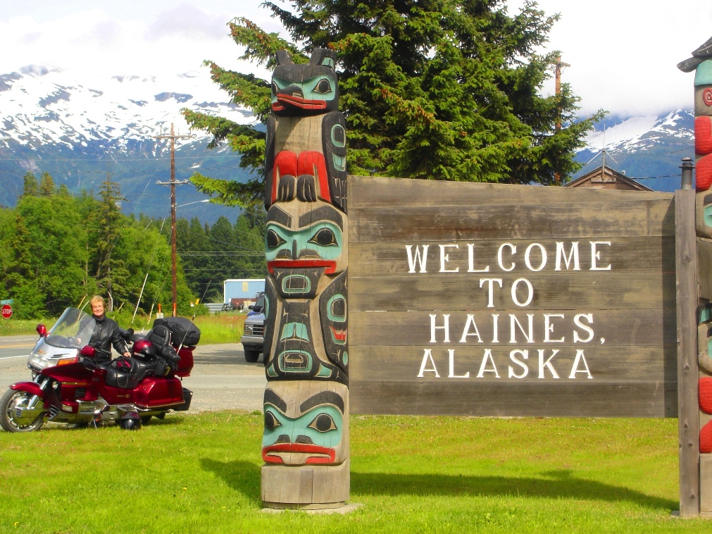
A couple we saw in Tok and then again in Border City riding from California with a sidecar. At right the sign at the border coming into Alaska from Haines Junction. We were on our way south this time.
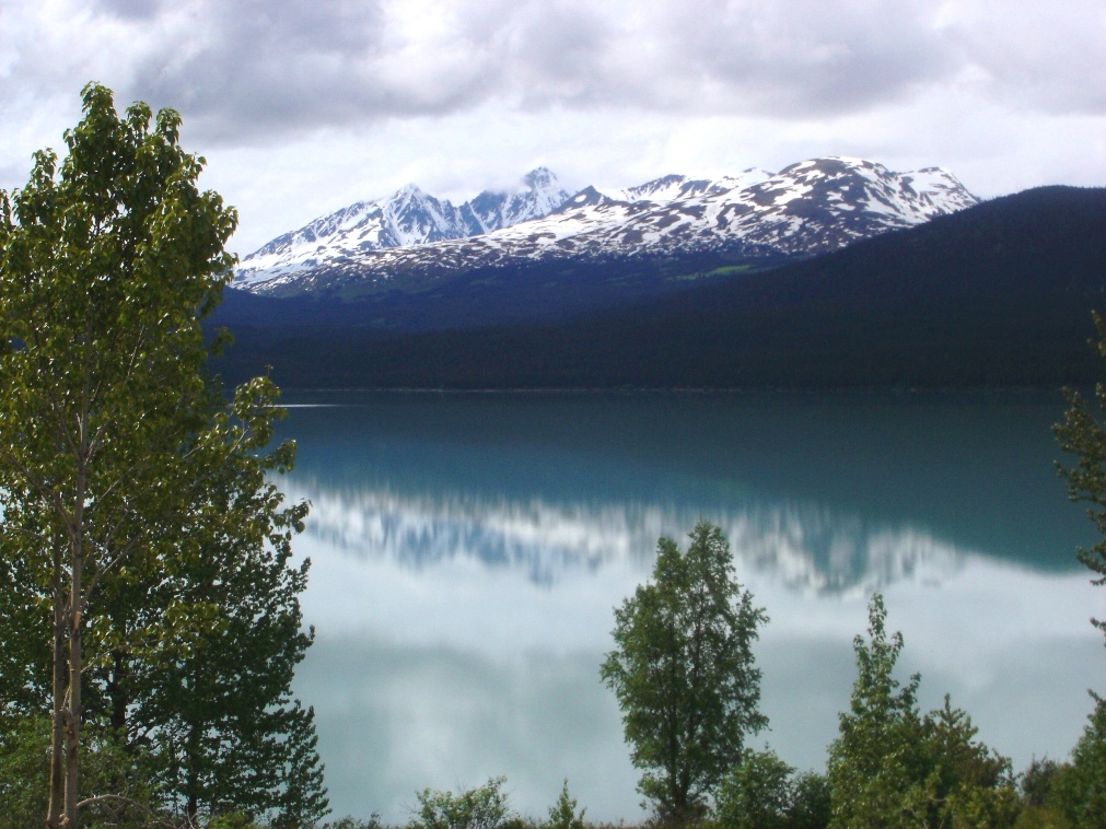
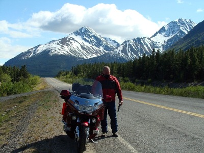
A brown bear we saw between Tok and Haines Junction - then came the rain - then came the sunshine at Haines Junction (right) taken from our room at the Alcan Motel.

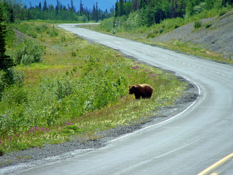
The next morning headed to Haines we saw the big grizzly beside the road eating daisies. At right, in Haines headed to a little lake and camping area near town to see some other riders we had met that day.

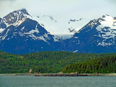
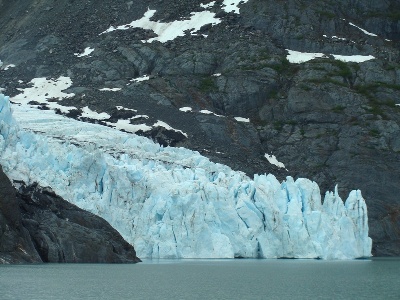
On the left, a picture taken from downtown Haines, Alaska. On the right a glacier seen on the way to Juneau by ferry.

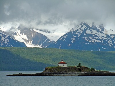
Coming into Juneau by ferry from Haines presented us with some great shots along the Alaska Marine Highway.
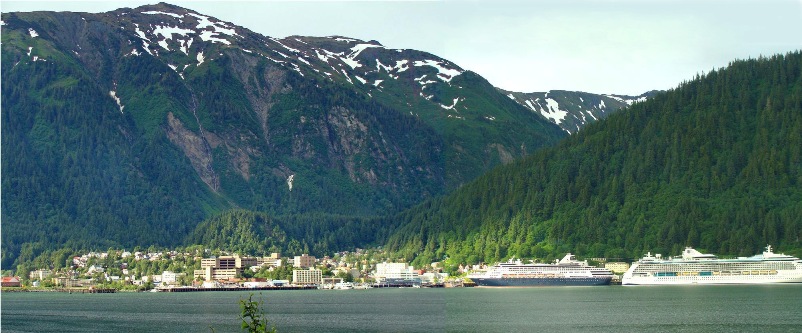
A panorama picture of Juneau taken from Douglas Island. This is two pictures pieced together in Adobe Photoshop.
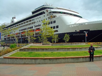
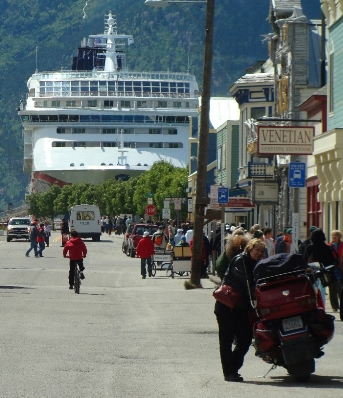
Susan stands in front of one of the cruise ships parked right downtown Juneau. At right, we visit with some other riders ready to load up on the ferry headed south out of Juneau.
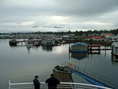
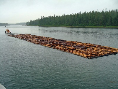
A pre-dawn stop at Petersburg where no vehicles got on or off - just foot traffic. At right a tug boat pulling a log corral headed south to a saw mill.
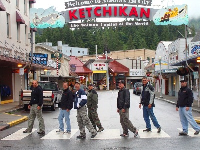
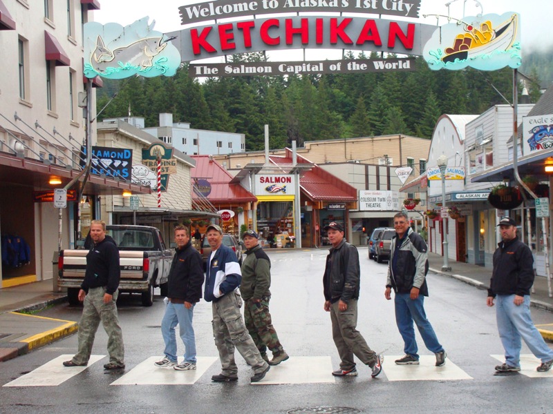
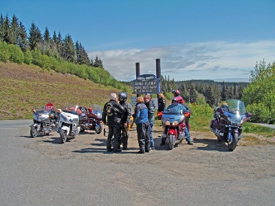
Mike Leatham (Fathead) and The Utah Mob - Joe McCrea (Fireman Joe), Ray Brock ( S.B. Ray), Bruce Hazen (Fat Dixie), Brad Johnsen (Little Johnsen), Bruce Long, and Todd Bishop (Toad) in Ketchikan. At right, lined up in Prince Rupert. We met these riders on the ferry in Juneau.
Lined up at Canadian customs in Prince Rupert at 4:30 am is just a little too early.
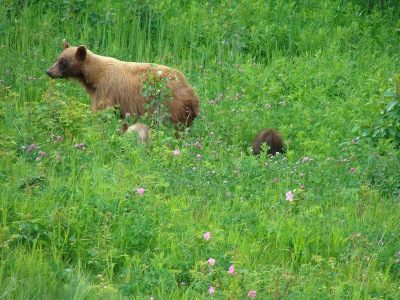
Between Prince Rupert and Prince George were some beautiful scenes beside the road when the sun came out. At right, was the last bear we saw. It was a very small mother with three cubs. You can see the rump of two of them here and a third, a black one, was back in the trees.

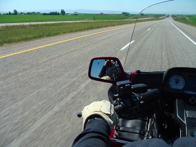
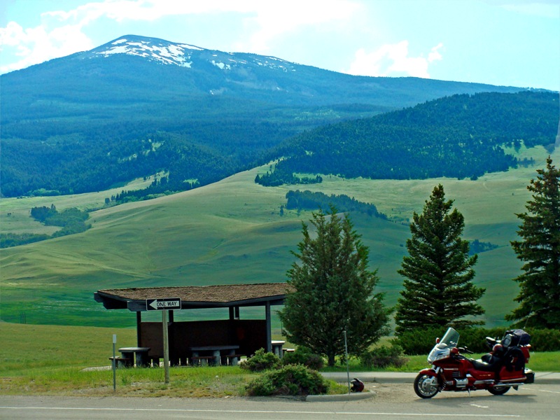
Headed south through Montana we stopped in the middle of nowhere and had our Subway sandwich with a pretty good view to the West. At right, we are continuing south through Utah on I-15.
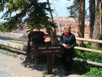
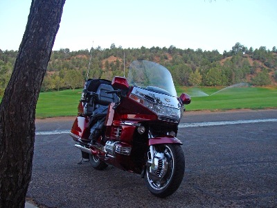
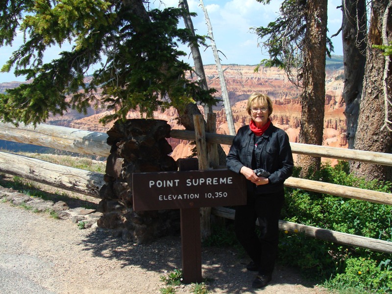
We rode up to the Brian Head ski area to escape the heat and visited the Cedar Breaks National Monument. At right was the last morning near Zion National Park.
2006 Trip pictures
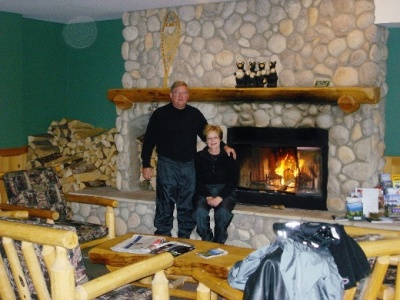
In May of 2006 Susan and I left for our 39 day trip to Alaska. The first three days were simply 1,400 miles straight up I-15 through Utah, Idaho and to Great Falls, Montana. Entering Canada through Coutts, we traveled up the west side of Calgary and rode through four hours of rain into the great little town of Canmore. The cozy fireplace at Canmore was a great welcome feature of the motel after a cold, wet afternoon of riding.